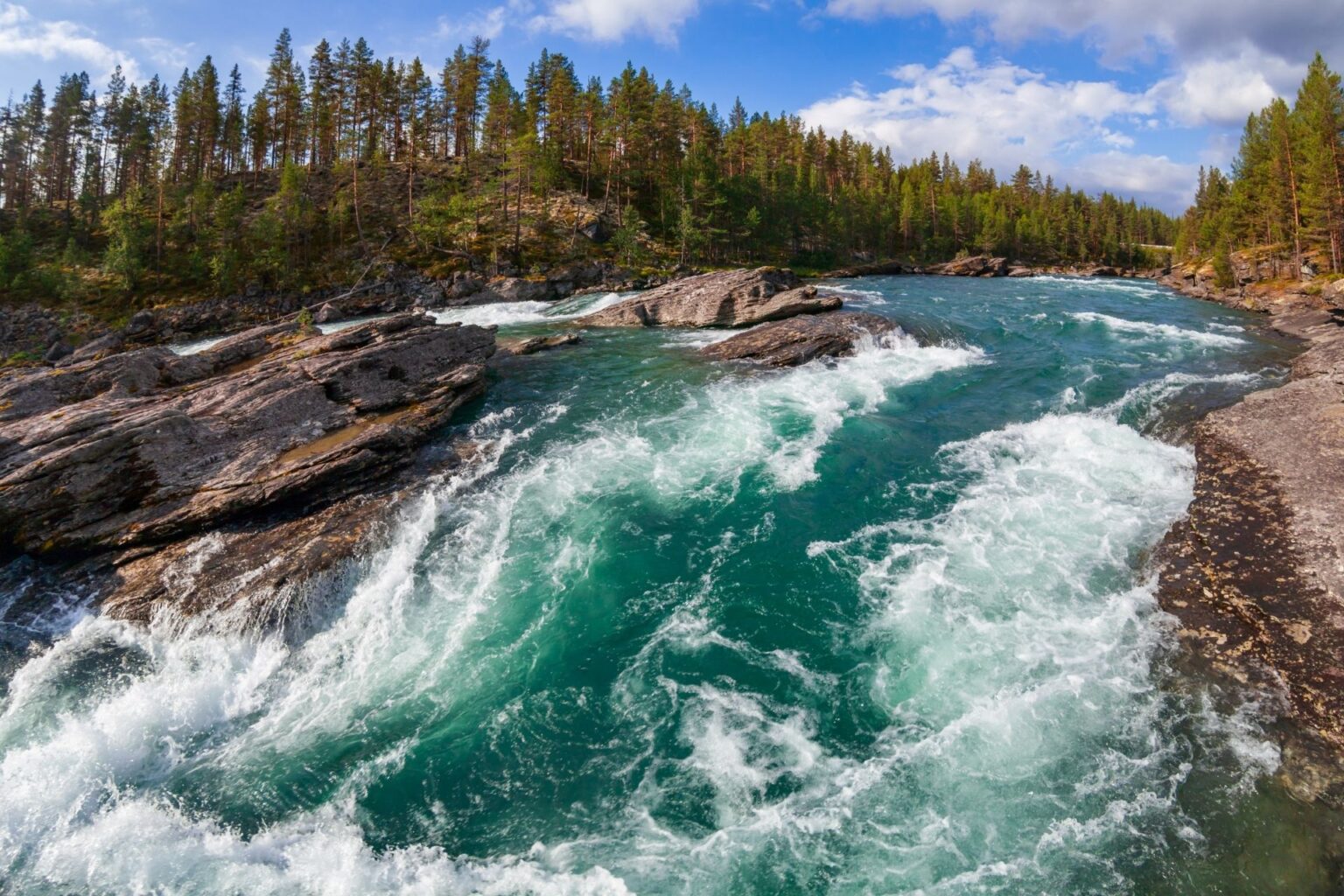
Climate impact and waterflow in waterways
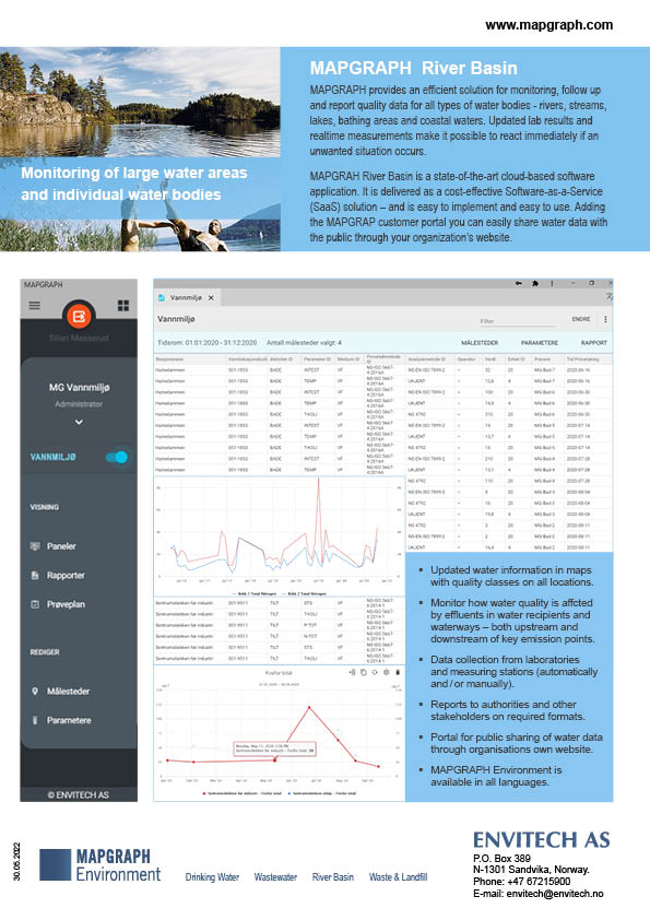
MAPGRAPH River Basin compiles data and illustrates how the water quality is affected by effluents in water recipients and in waterways – both upstream and downstream of key emission points.
Weather may substantially affect the water quality, especially precipitation. Therefore, weather information can be imported from climate stations or from open sources.
Waterflow data may be calculated from water level measurements provided by field stations or from other systems. Field stations are geo-located in maps, and readings and alerts are visualized in real-time in the maps.
MAPGRAPH River Basin enables close and accurate control of the water quality in fjords, rivers, and waterways. Realtime measurements and defined limits make it possible to early warning immediately if an unwanted situation is detected in for example a drinking water reservoir.
- Monitor updated information in maps with water quality classes on all locations.
- Observe and document environmental impacts from effluents and civilatoric influence.
- Provide updated water quality published to the public from your own pages.
- Report to authorities and stakeholders on required formats.
- MAPGRAPH adds to existing systems and archives, enhancing Data Security.
- MAPGRAPH River Basin saves time and ensures continuity.
Bath Water Quality
Inform the public of up-to-date water quality for beaches and other monitored bathing spots. MAPGRAPH Bath Water Portal conveys water quality in accordance with EU’s water directive. The portal itself is map-based with icons coloured based on the water quality. Temperature and other relevant data can also be included.
Sharing Data and Reporting to Central Authorities
All data is exportable from MAPGRAH to Excel with a push of a button, making the process of sharing data with colleagues and authorities an effortless and easy task. We also provide templates for export to national databases.
More information